
Built for Every Stage of a Gun Crime Investigation.
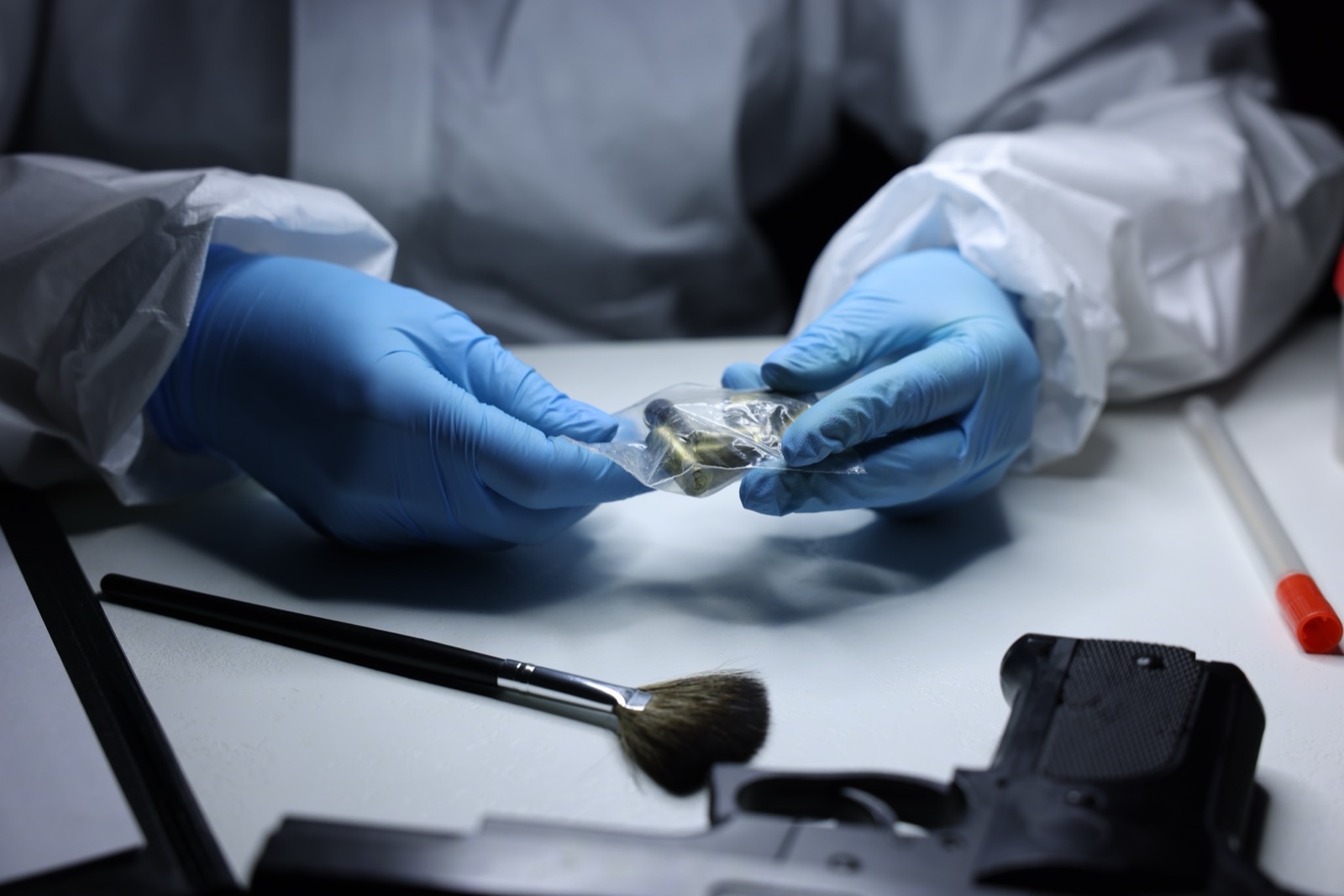
Gun crime investigations are complex, time-sensitive, and increasingly difficult to solve. The technology behind them needs to keep pace. Our crime gun intelligence solutions equip law enforcement, forensic labs, and firearms examiners to move faster at every stage, from evidence collected at the scene to conclusions that hold up in court, advancing cases and delivering results that help protect communities.

More Connections. Faster Investigations.
Gun crimes rarely happen in isolation. The same firearm evidence shows up across incidents, neighborhoods, and jurisdictions. IBIS is built to find those connections fast.
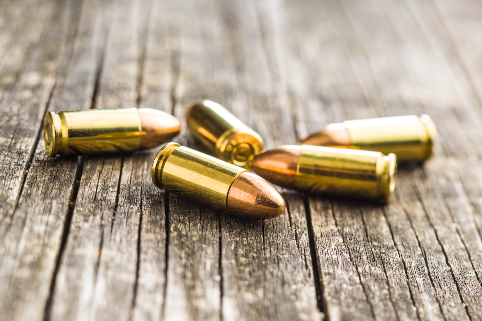
IBIS is the world's most advanced ballistic identification network. It works like a search engine for gun crime evidence, extending your agency's reach beyond what any single investigator or lab could accomplish alone. Using specialized 3D microscopy, IBIS captures the unique marks a firearm leaves on every bullet and cartridge case it fires. It then searches for similar marks across the network, delivering the most likely associations to be reviewed by experts using 3D comparison viewing.
The result is actionable intelligence at a scale no manual process can match. More than 7,000 agencies across 80 countries have deployed IBIS, powering dedicated national networks around the world including NIBIN in the United States. Giving investigators the technology to fight against gun violence and the leads to advance cases faster.

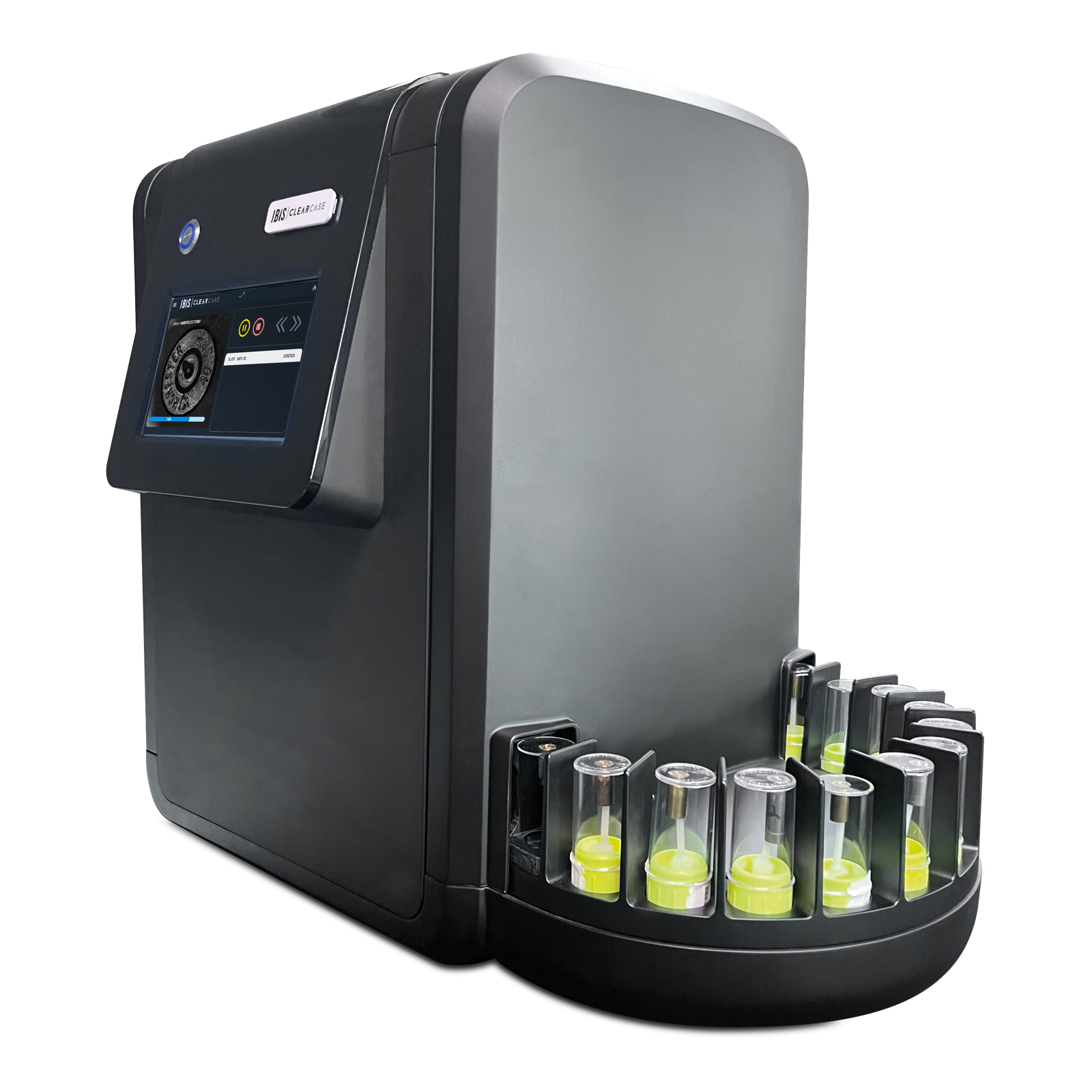
Triage Cartridge Cases. Uncover Leads. In Minutes, Not Days.
In active gun crime investigations, every hour matters. Evidence sits. Backlogs build. Leads go cold. ClearCase is a fully automated cartridge case triage solution built to close that gap and give investigators actionable crime gun intelligence in minutes.
Powered by IBIS technology, ClearCase can process up to 20 cartridge cases in under 20 minutes. It automatically identifies caliber, determines how many firearms were involved, and flags the best candidates for NIBIN or IBIS network submission without specialized training and without slowing down the chain of custody.
ClearCase InSights takes it further. The moment triage is complete, it searches your agency's cases for ballistics associations, identifying firearm links across incidents and surfacing leads investigators can act on immediately.
From crime scene to investigative lead. Any officer can run it. Any agency can deploy it. See how ClearCase can advance your cases faster.

A Game Changer for Firearm Identification.
Courts are raising the bar. Firearm examiners are under more pressure than ever to support conclusions with objective results, not just expert judgment. The Quantum 3D Microscope was built to meet that challenge.
The Quantum 3D Microscope gives firearm and toolmark examiners the most advanced 3D viewing and quantitative analysis tools available for common source determination. It captures reliable 3D measurements of the surface topography of bullets and cartridge cases, then enables fast side-by-side comparisons that reveal details optical microscopes can miss. Every comparison generates an objective similarity score and a False Match Rate that gives examiners the statistical confidence to support defensible conclusions in court.
The efficiency gains are just as significant. A 2021 benchmark study shows that the Quantum 3D Microscope reduces examination time by up to 10x compared to conventional comparison microscopy for bullets, turning days of casework into hours while increasing confidence.
Powered by decades of IBIS technological innovation, the Quantum 3D Microscope is built for modern forensic labs and the firearm and toolmark examiners who need to advance their casework.
*3D model is a simulated representation shown for informational purposes only and may not reflect exact unit specifications.
Resources
Explore our latest content, insights, and resources designed to help you get the most from our ballistics solutions.
IBIS Comprehensive Overview
Explore the components, capabilities, and science behind IBIS and see how it is helping law enforcement generate ballistics leads and advance investigations faster.
Download
Get to Know ClearCase
Get the full picture on features, key benefits, and the science behind ClearCase.
Download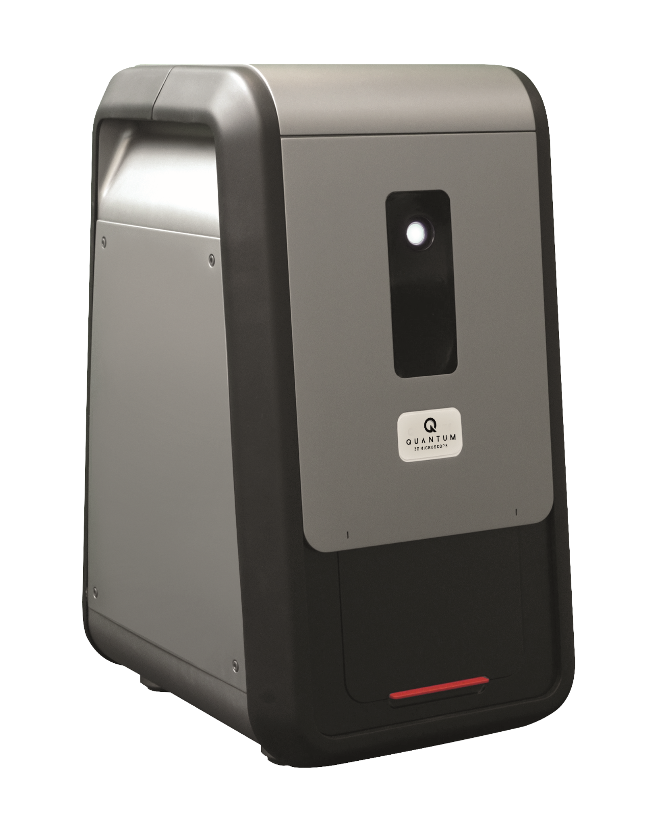
Q3M: Built for Examiners
Learn how Q3M complements your existing workflows with 3D virtual comparison microscopy and quantitative analysis, giving examiners the tools to perform firearm identification faster and reach defensible conclusions with confidence.
Download
Ready to Modernize Your Crime Gun Intelligence Operations?
Discover how our technologies can help your agency identify ballistics associations faster, generate actionable leads, and support expert conclusions with objective methods that hold up in court. Talk to our team about the right solution for your needs.